Difference between revisions of "Route 66"
Jump to navigation
Jump to search
| Line 19: | Line 19: | ||
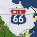
File:Route66-Map.png|Logo as seen in map | File:Route66-Map.png|Logo as seen in map | ||
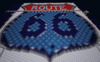
File:Route66 logo base.png|logo base | File:Route66 logo base.png|logo base | ||
| + | File:Route66 West end.png|West end plazza | ||
| + | File:Route66 Westernmost bridge.png|Westernmost bridge | ||
</gallery> | </gallery> | ||
[[Category:Earth]] | [[Category:Earth]] | ||
[[Category:Pixel_Art]] | [[Category:Pixel_Art]] | ||
| + | [[Category:Landscaping]] | ||
| + | [[Category:Bridge]] | ||
[[Category:Stub]] | [[Category:Stub]] | ||
Revision as of 01:12, 25 July 2020
Please update maplocation parameter for Place template used in this page. Use
|x= |y= |z= parameters instead of |maplocation=| Route 66 | |||||||||
|---|---|---|---|---|---|---|---|---|---|

| |||||||||
| Map | -457/-555/10 | ||||||||
| Founder | Tagada | ||||||||
Overview
Route 66 pixel art by User:Tagada. This road aims to connect the West and the East of the map, with sometimes landscape set up along it.


